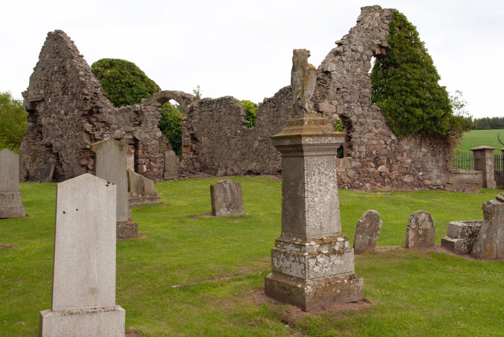
Stephen Downie had lived in Forgan parish for many years and in 1773 he was one of its pensioners.1
So what do we know about Stephen?
There is a marriage of a Stephen Downie, of the parish of Forgan, to Anna Patrick, also of Forgan parish, the first proclamation on 19th January and the marriage on 8 March 1734.2 His payment of 6/8d. for the marriage contract is noted on 12 February 1734.3
Stephen’s own baptism isn’t recorded; there is a possible baptism in Forgan for Anna, daughter of William Patrick, on 4 January 1713; and there are no baptisms of any children. There is no death recorded for Anna (either as Anna Patrick or as Anna Downie / Dauny). Similarly there are no deaths recorded of any children.4
There is no proof but it is probable that the above Stephen Downie is the same as the one below who is followed through the Kirk Session minutes.5

Stephen Dauny regularly receives £1-4-0 Scots* monthly from the Forgan poor box from 20 April 1767 to October 1768. In 1769 the payments appear to be doubled : £0-4-0 sterling which is £2-8-0 Scots. The last named payment is on 18 November 1769.
Unfortunately, the record of payments to the poor in Forgan is just as patchy as the records of baptisms, marriages, and the even worse records of deaths. There is a gap in earlier poor records from April 1741 to April 1767 so we don’t know when the regular payments to Stephen begin. After April 1767, the payments are sometimes recorded to named individuals (David Rollow, David Younger, Stephen Dauny, Margaret Paterson and Elizabeth Tulloes, and occasionally some others), and sometimes they are lumped together and recorded as ‘payments to the pensioners’ or ‘payments to the poor’. It is therefore impossible to know exactly how long the payments to Stephen continued.
Then on 16 May 1773 the following entry appears: ‘Session empowered Mr George Hutton their clerk, James Walker & Thomas Miller, elders, to inspect and value the effects of Stephen Downie one of their pensioners lately deceased in order to be rouped for the benefit of the poor and ordered the roup to be advertized Sabbath next.‘ – Stephen has died and the Kirk Session has taken it on themselves to look at and value his belongings and then roup (auction) them off to the highest bidder, the proceeds to go to the poor box.
But someone isn’t happy with this arrangement, because on 22 June the minutes record: ‘It was represented to the Session by some of their members that Mr Hutton their clerk and some others had received a summands to compear before the Sheriff at Coupar on Thursday next [24th] for having intromitted in dispensing of the effects of Stephen Downie who had been their pensioner for a long time. They appointed Mr Hutton their clerk to compear before the Sheriff and give a fair representation of this matter as it stands.‘ [‘intromitted in dispensing of the effects’ just means ‘dealt with the deceased’s belongings and what happens to them’, it doesn’t imply wrong-doing]
This summons to the Sheriff is unusual .
However, everything must have been resolved because next we have finally, on 14 July 1773, Stephen’s testament issued by the Commissary Court in St Andrews.6 Stephen died without leaving a will and this document records the legal process of dealing with his estate. It tells us that the Kirk Session had announced, presumably from the pulpit, what they intended to do (in the absence of anyone else coming forward), then auctioned off his belongings and received £3-6-3½ sterling* for them. This money was used to pay his funeral expenses and ‘other privileged debts’ – which is rather different from their original stated intention of giving it to the poor.
It also tells us that Stephen was a horse-hirer at Woodhaven (a busy job at the ferry terminus and inn, and I suppose the equivalent of the car rental at the airport). Given that Stephen had been a pensioner for several years, I wonder just how much horse hiring he was doing latterly. What the testament doesn’t do is tell us the date of his death – it seems nobody knew or remembered.
There is no record of the receipt of the proceeds of the roup, of the hire of the mortcloth for the funeral, or any donation to the poor box, so at least Stephen may have had the last laugh – having received their pension for years, in the end the Kirk didn’t get their money back.
*Conversions:
- £1-4-0 Scots = 2 shillings sterling = 10p.
- £3-6-3½ sterling = £3.31
Sources:
- Forgan Kirk Session minutes, CH2/160/3, p.40-41, 27 Jun 1773, originals at the ScotlandsPeople website
- Forgan Parish Marriages 8 March 1734, Stephen Downie & Anna Patrick, 431/10/223, at the ScotlandsPeople website
- Forgan Kirk Session minutes, CH2/160/2, p.219 at the ScotlandsPeople website
- Forgan Parish Baptisms & Marriages, originals at the ScotlandsPeople website; Forgan mortcloth records in Forgan Kirk Session minutes, CH2/160/2 and CH2/160/3 originals at the ScotlandsPeople website
- Forgan Kirk Session minutes, CH2/160/2 and CH2/160/3 at the ScotlandsPeople website
- The original can be purchased & viewed at the ScotlandsPeople website, Wills and Testaments, CC20/4/23, Stephen Downie 1773.
