
1909-10 Finance Act - Valuation Office: Maps Indexes
These are copies I compiled many years ago from the originals at the National Records of Scotland, Edinburgh. These copies are not complete and they are presented here 'as is'.
The original maps are themselves incomplete - it was a work in progress and the whole project was stopped before completion.
The numbers and boundaries on the maps are the heriditament numbers - they refer to the descriptions in the field books. Check them when you have found the number of the property concerned.
There are indexes to the original map sheets at the bottom of this page.
The Valuation Office introduction page
There is some overlap between these copies, and some copies show both landward and burgh references.
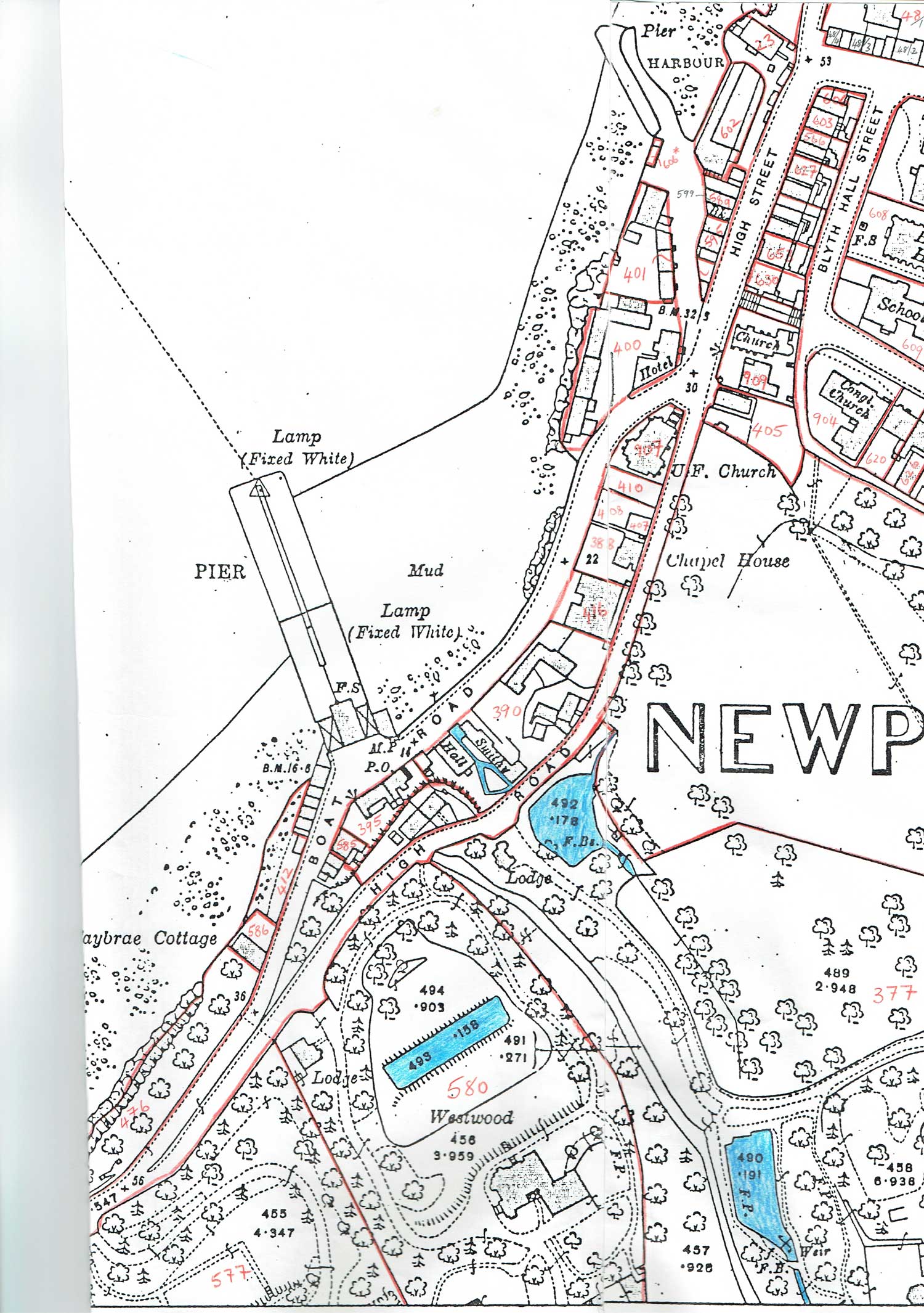
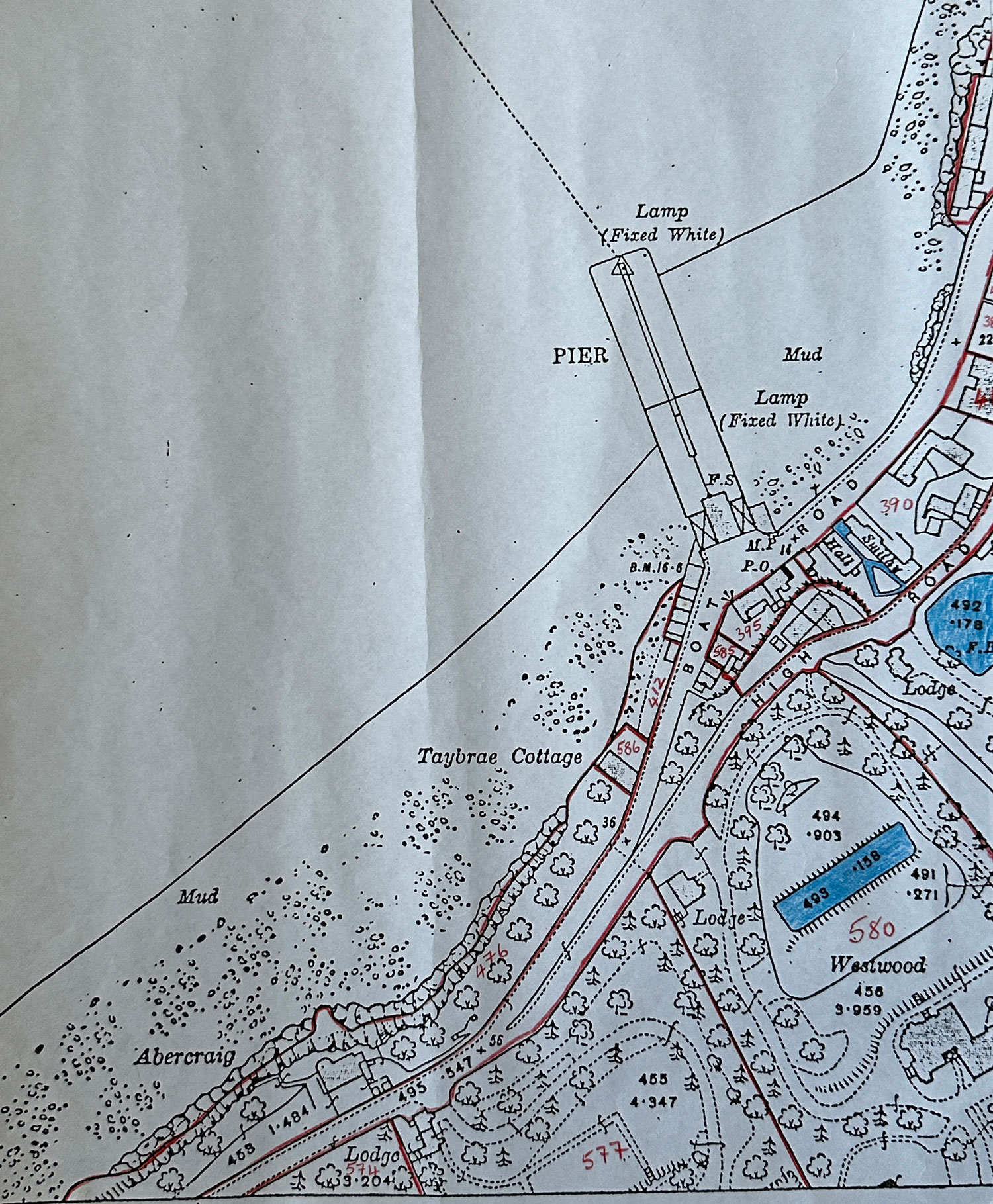
High Street, Boat Road, Boat Brae, High Road (above)
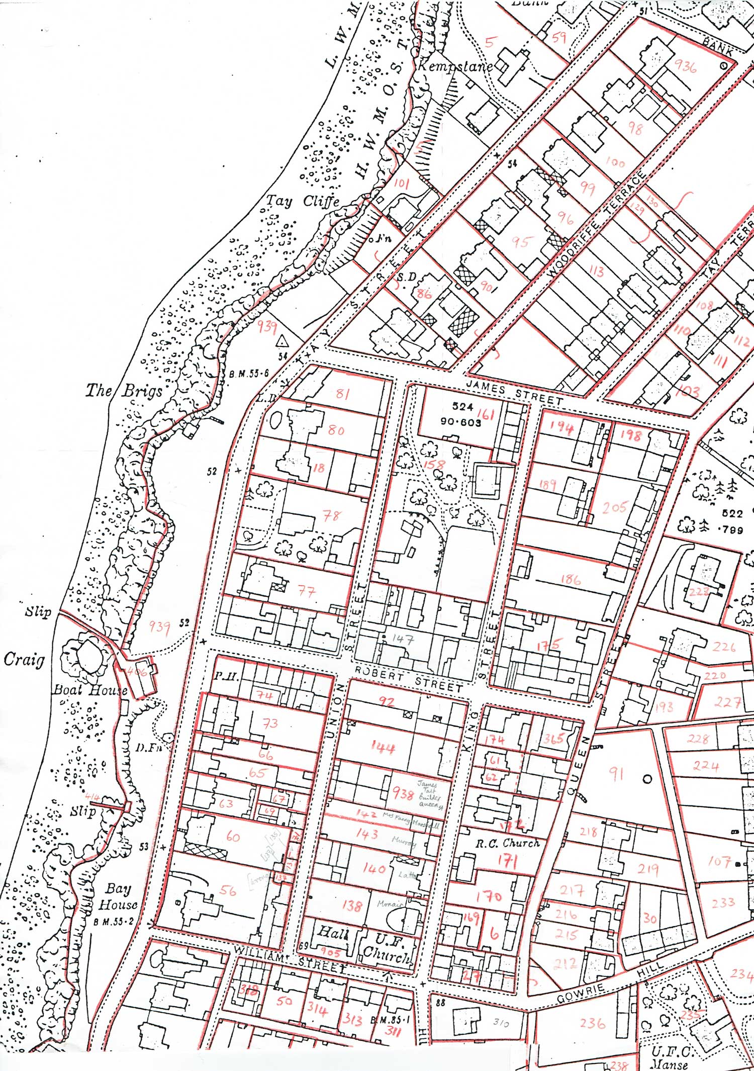
Tay Street, Union Street, King Street, Queen Street, Kerr Street
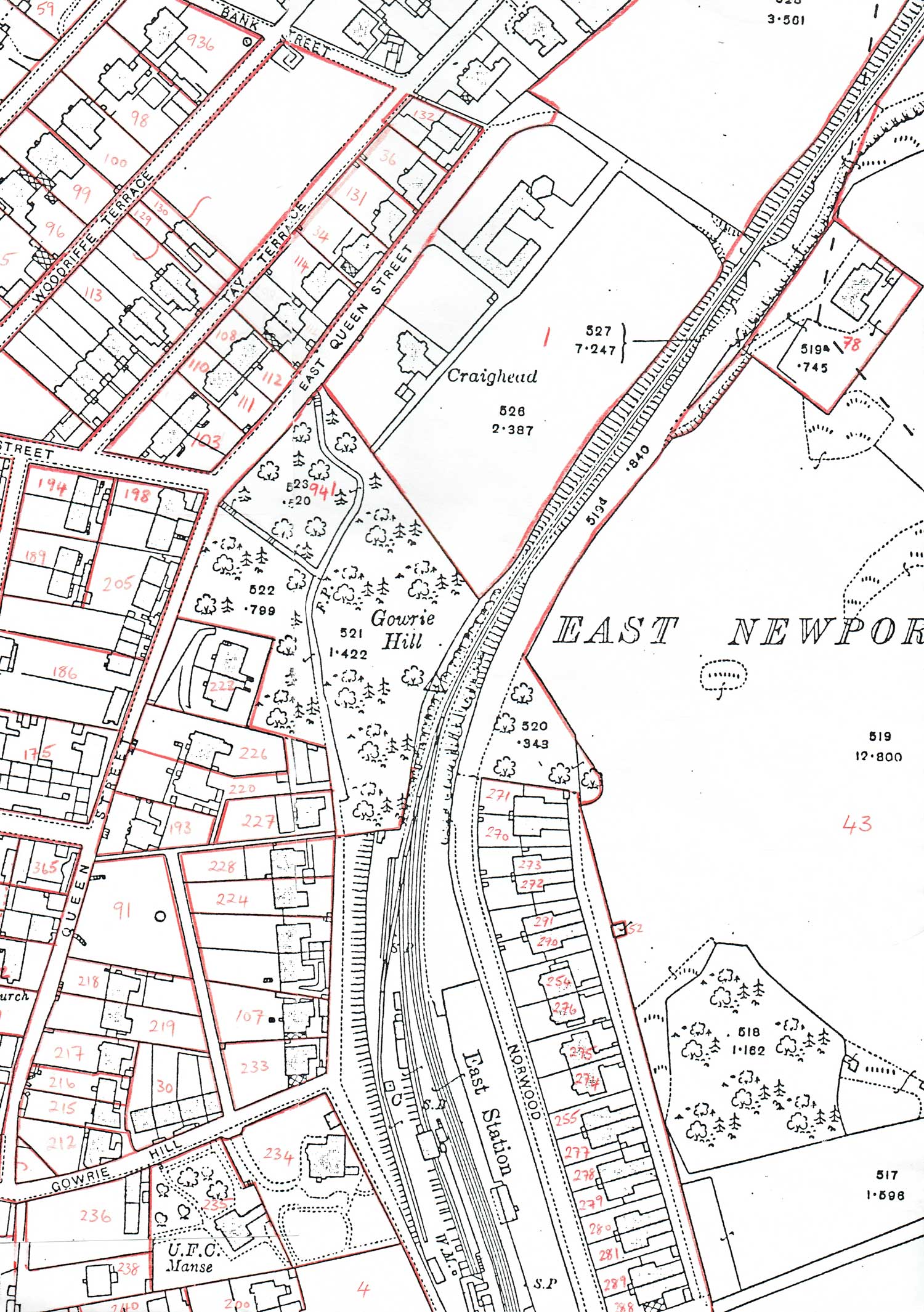
Tay Terrace, East Queen Street, Gowrie Street, Woodbine Terrace, Norwood
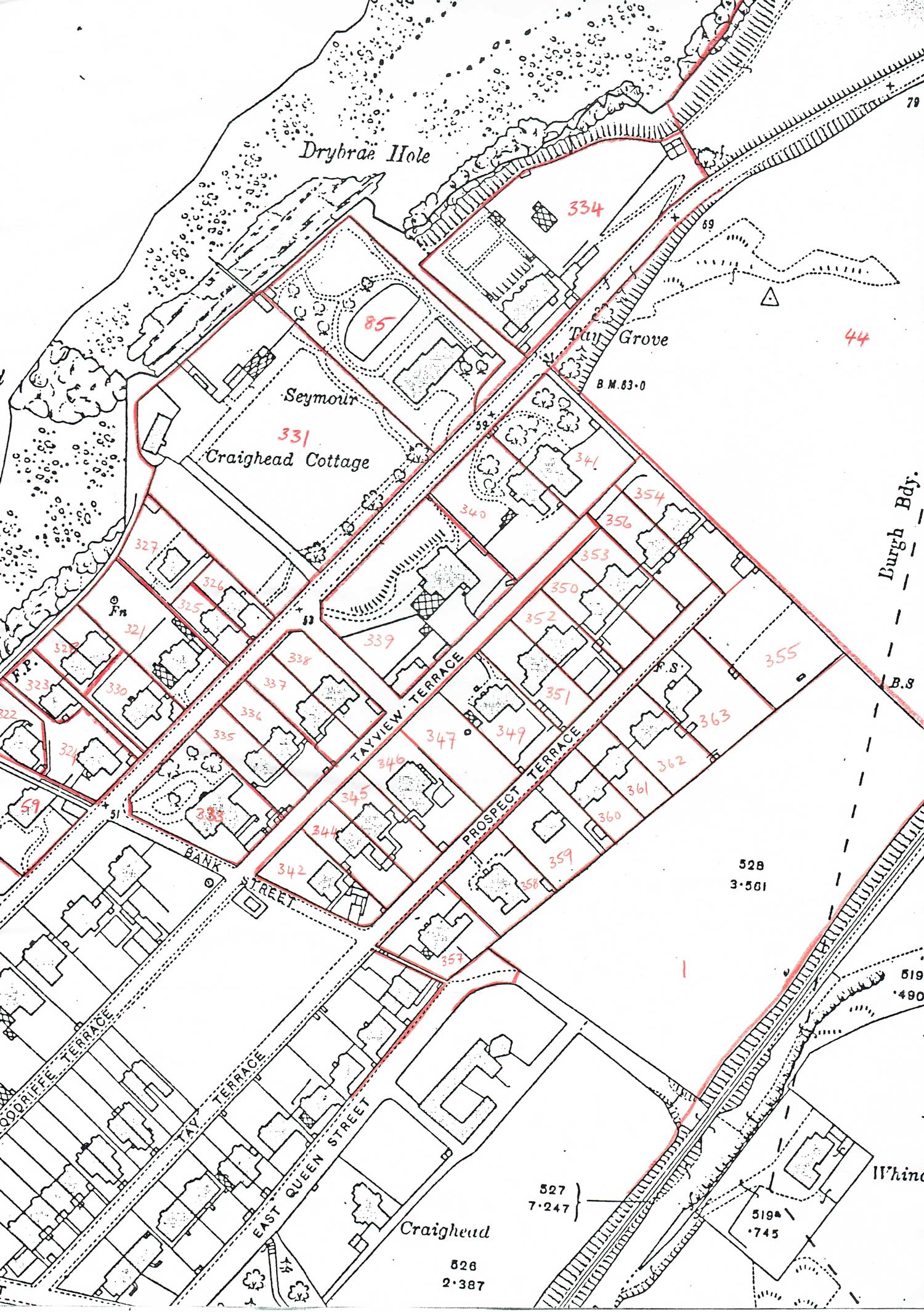
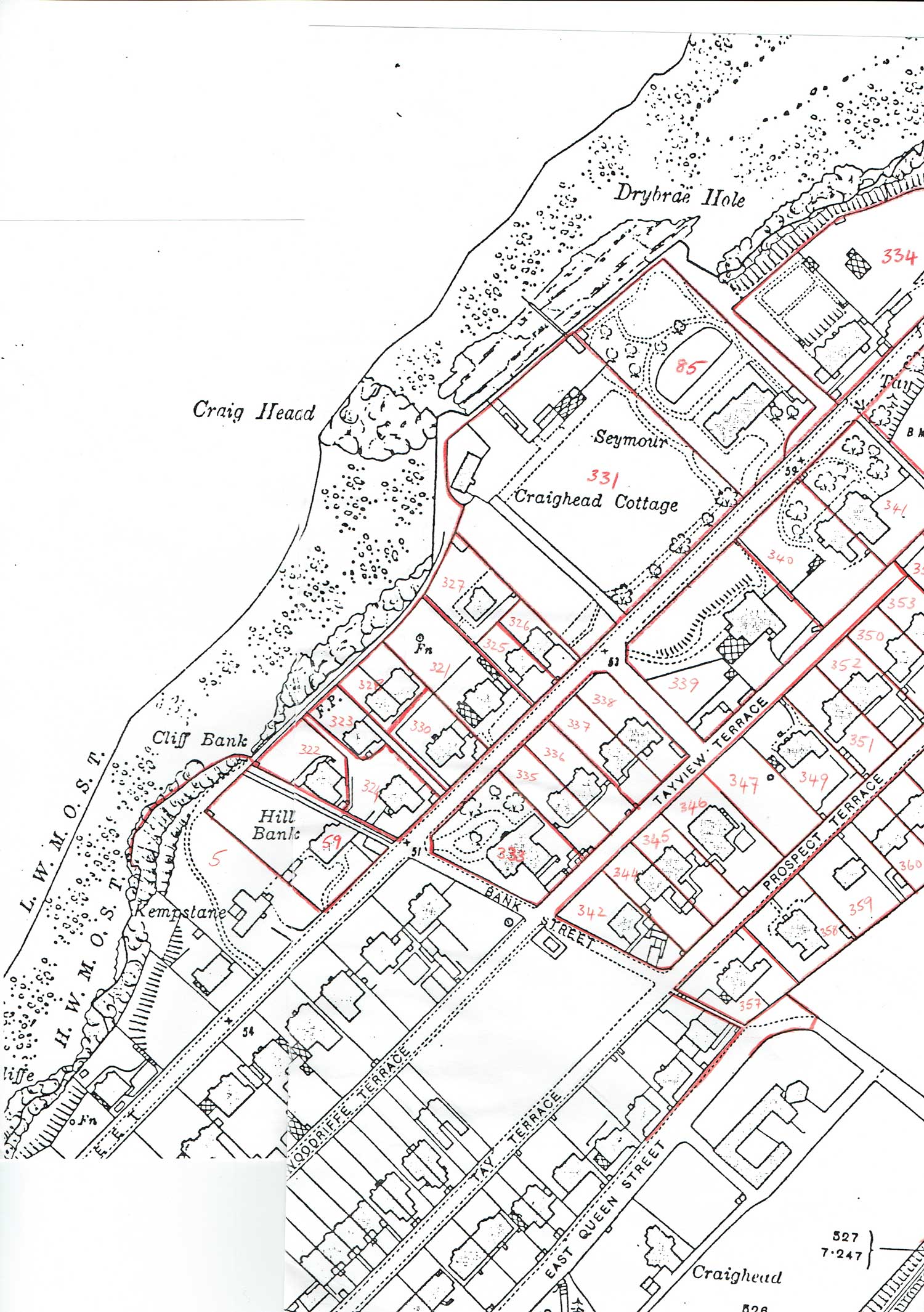
Tay Street, Bank Street, Tayview Terrace, Prospect Terrace
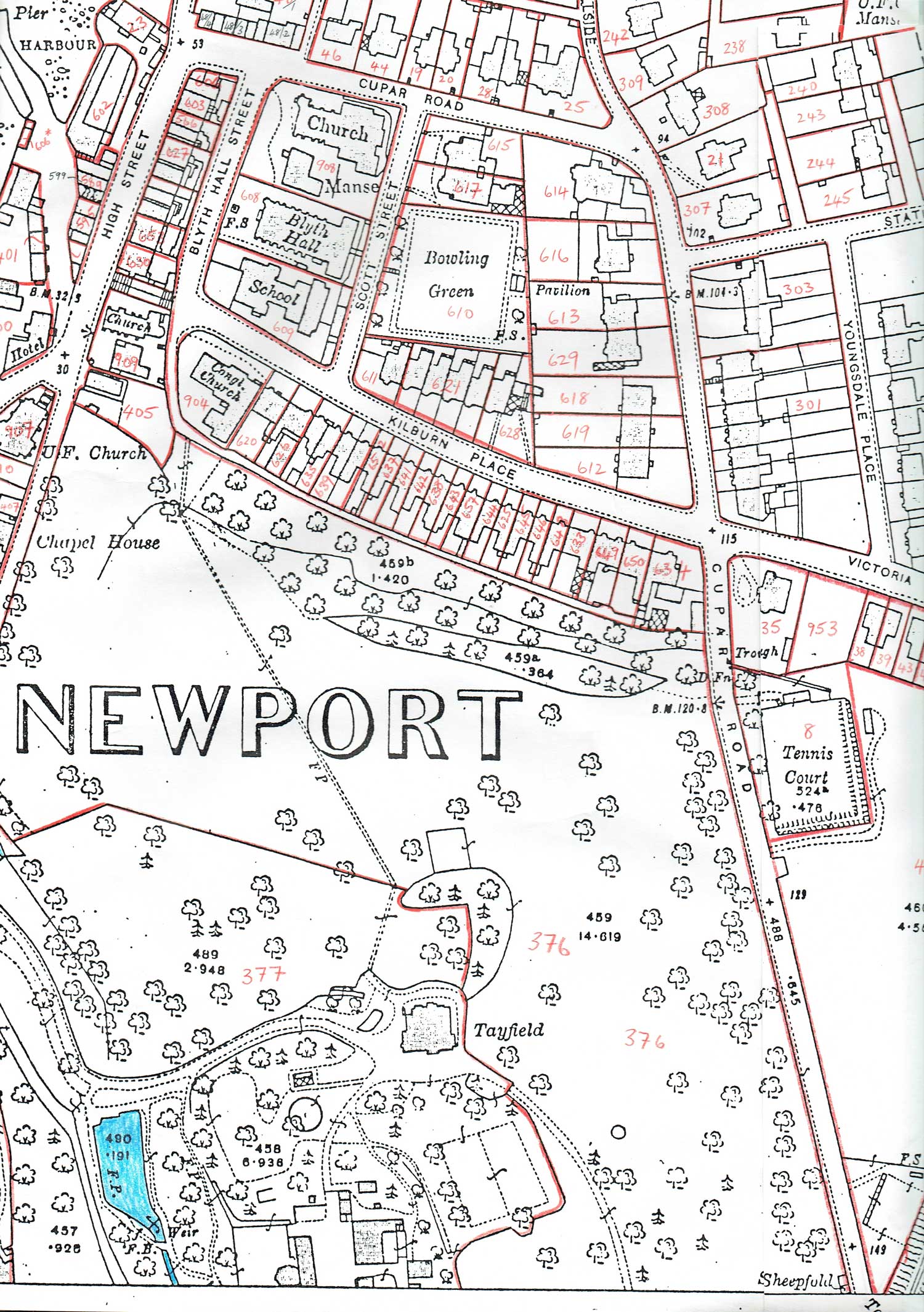
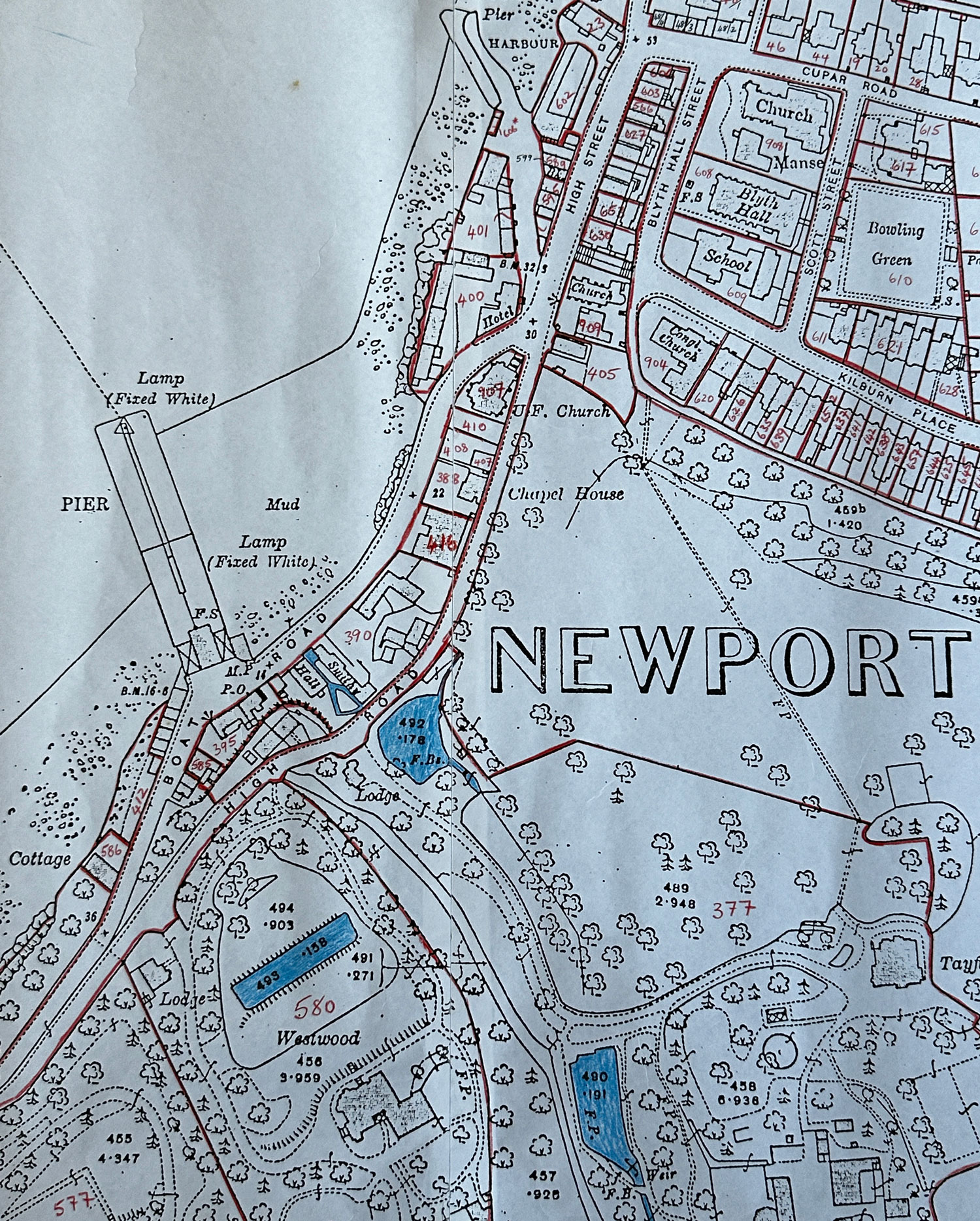
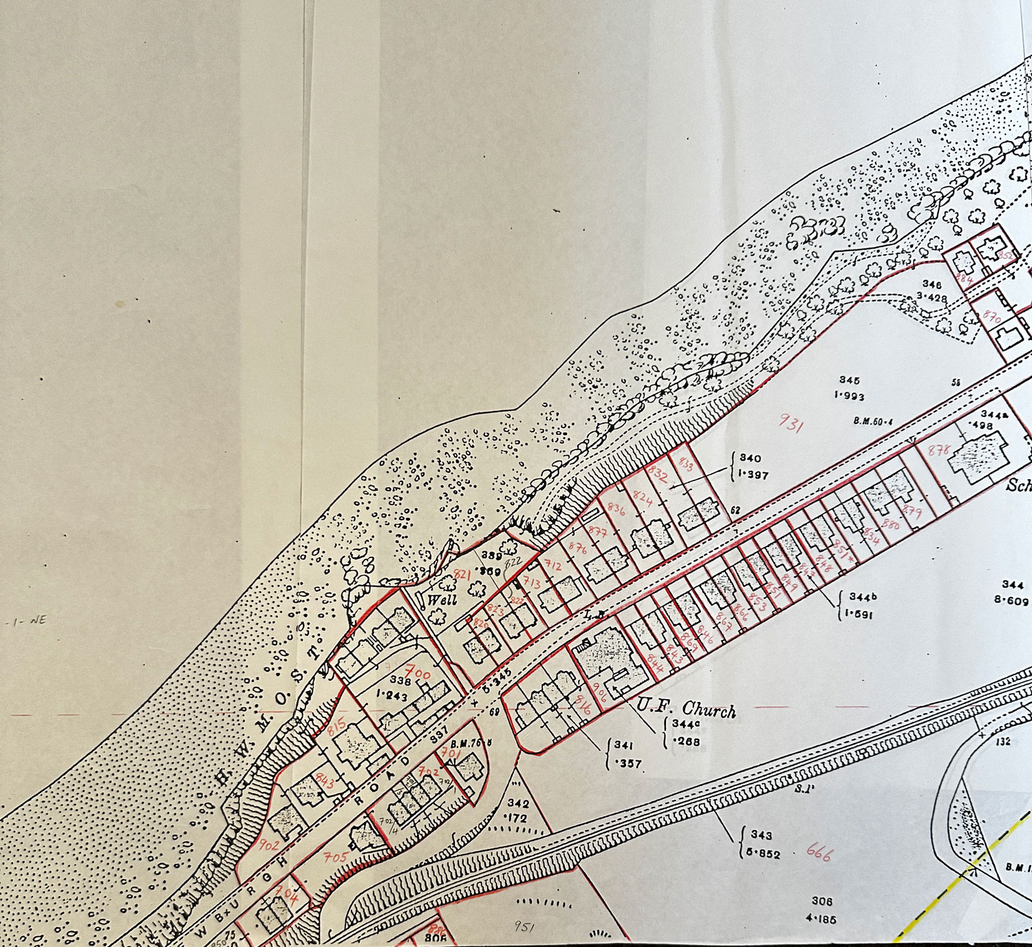
High Street, Cupar Road, Kilnburn
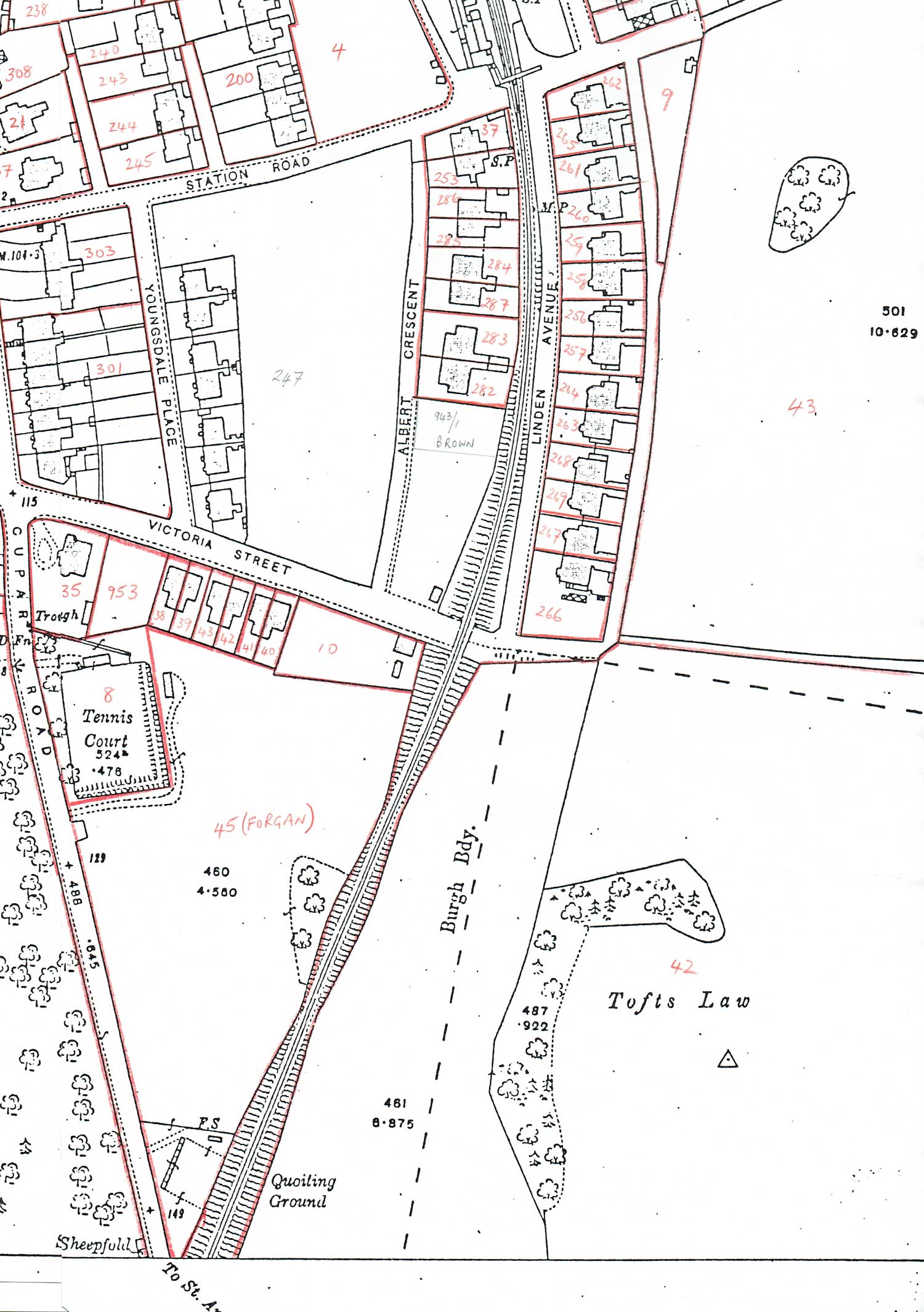
Linden Avenue, Albert Crescent, Victoria Street
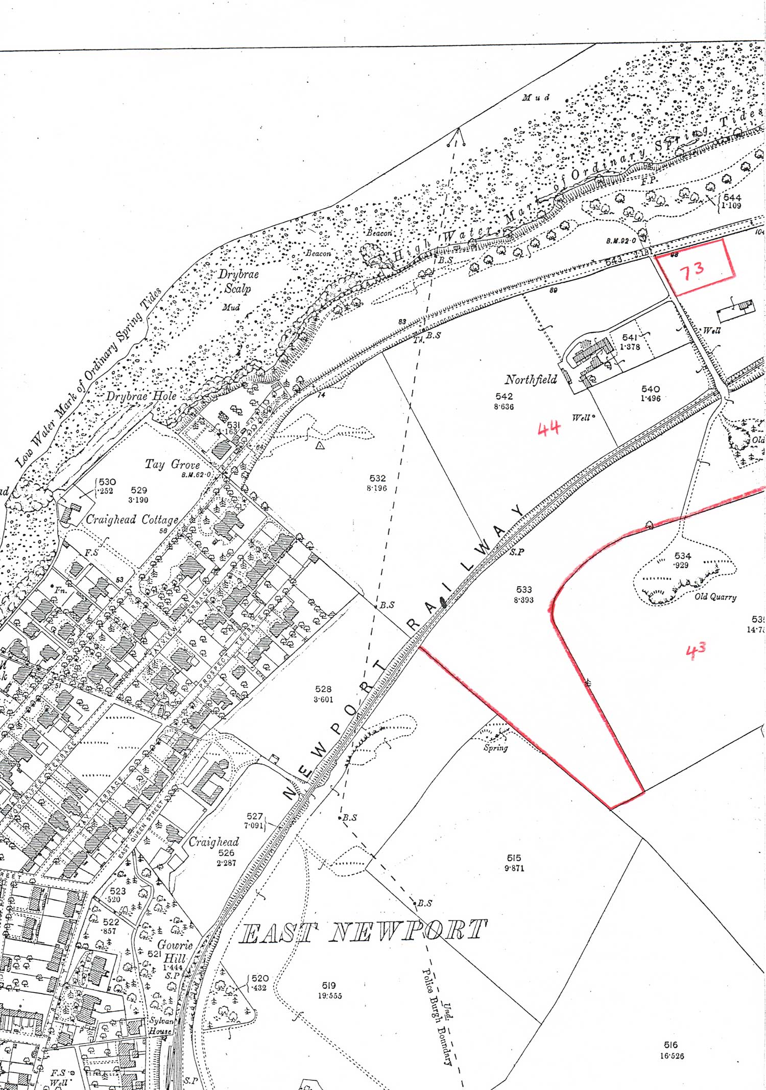
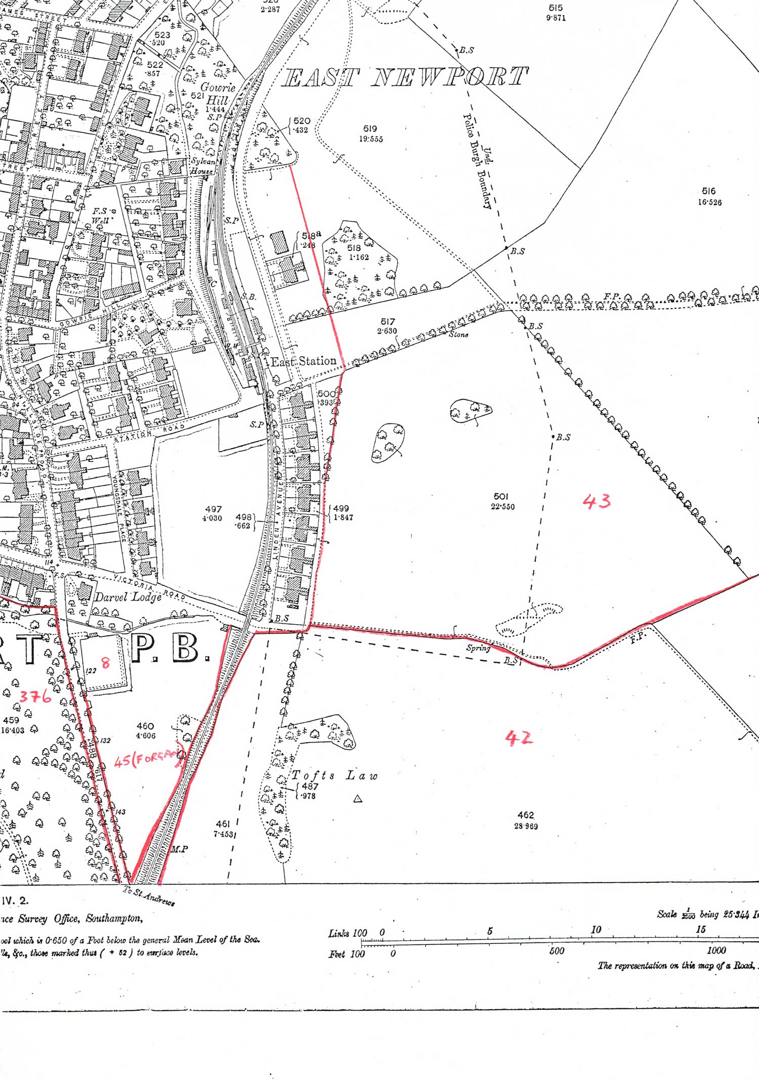
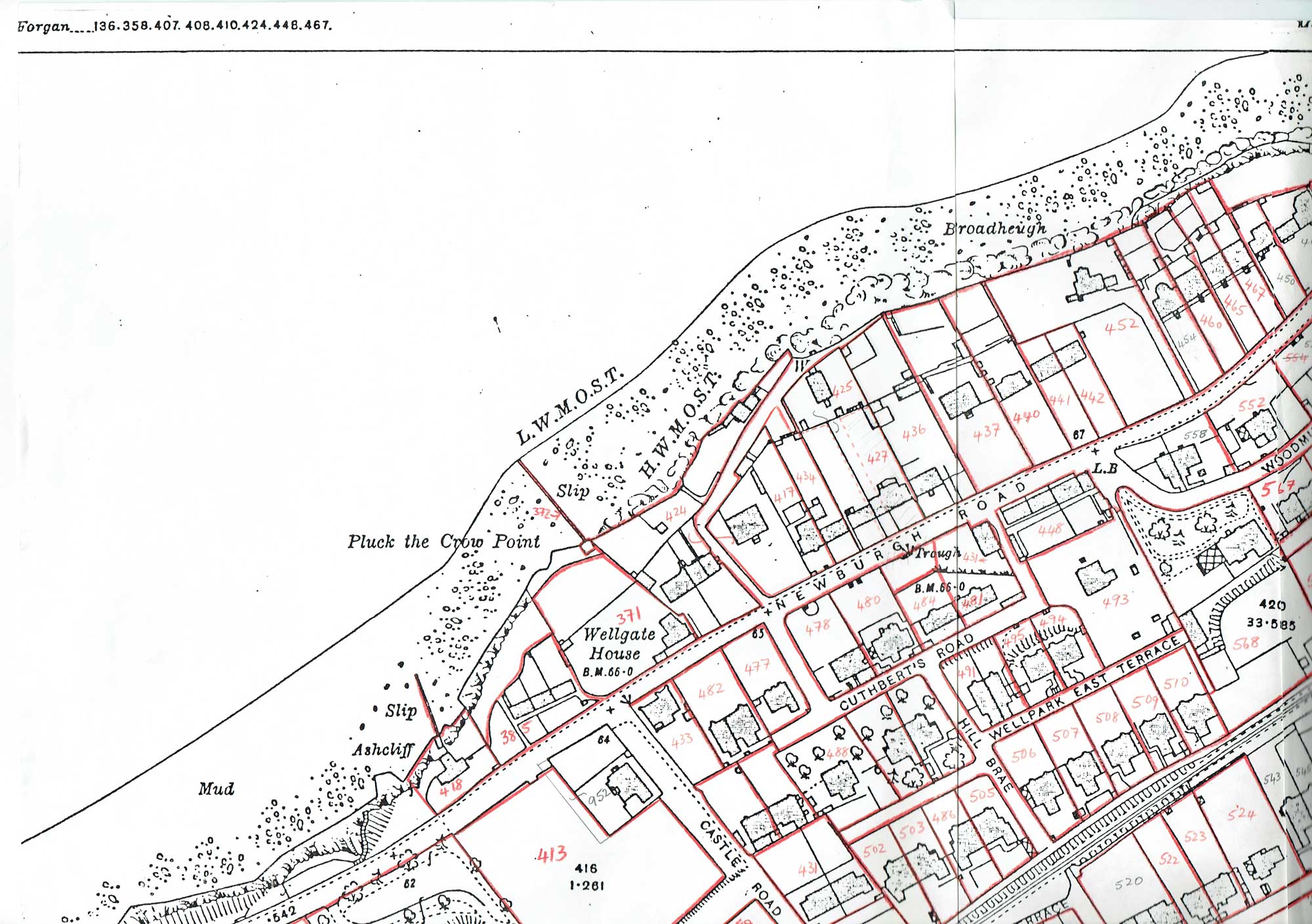
Forgan parish - incomplete - around Northfield
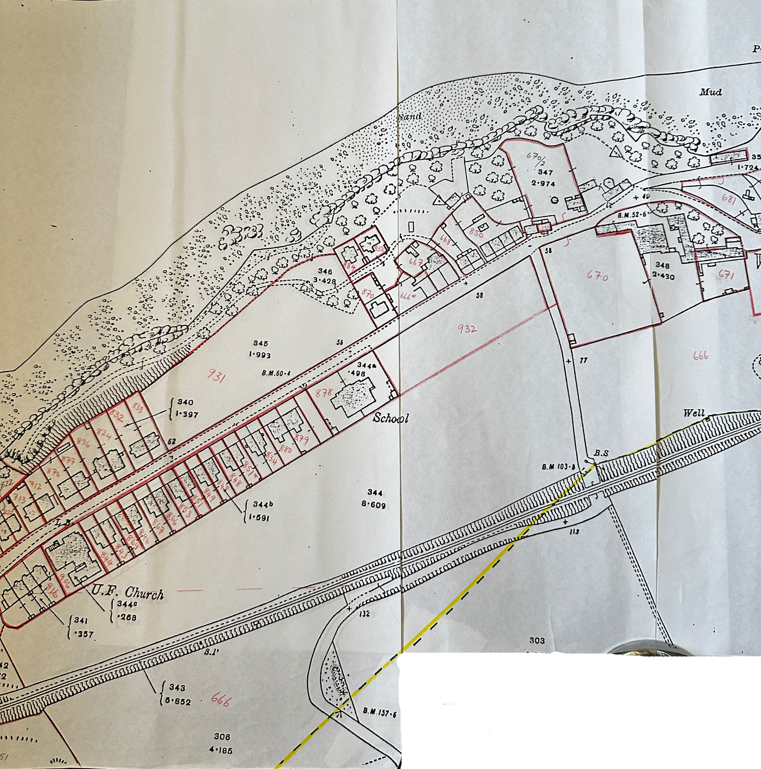
Boat Road, High Street, Kilnburn
Forgan parish - incomplete - around Linden Avenue
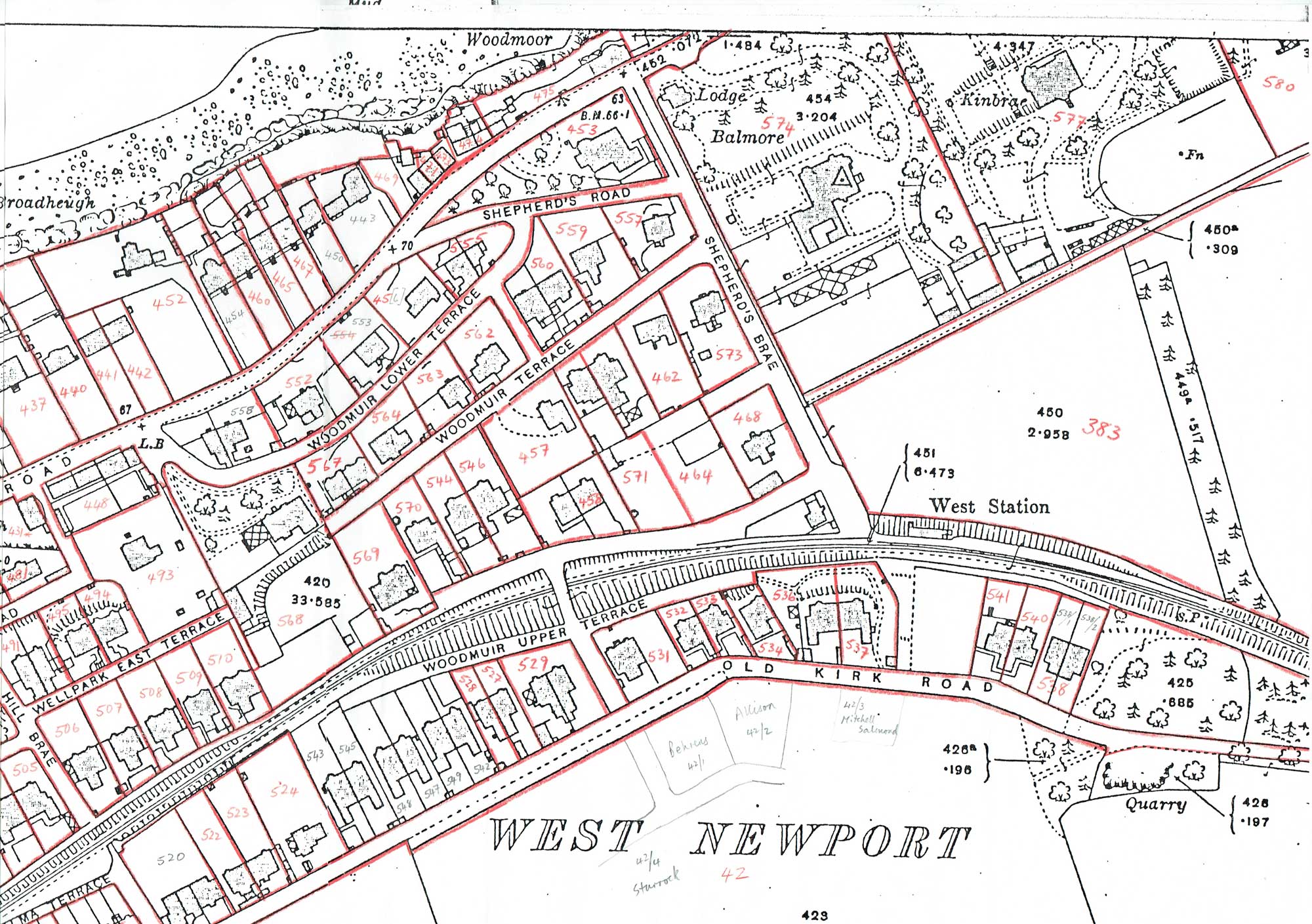
West Road, Shepherds Road, Woodmuir, Kirk Road
West Road, Wellgate, Wellpark Terrace
Westfield Terrace, Alma Terrace, Kirk Road
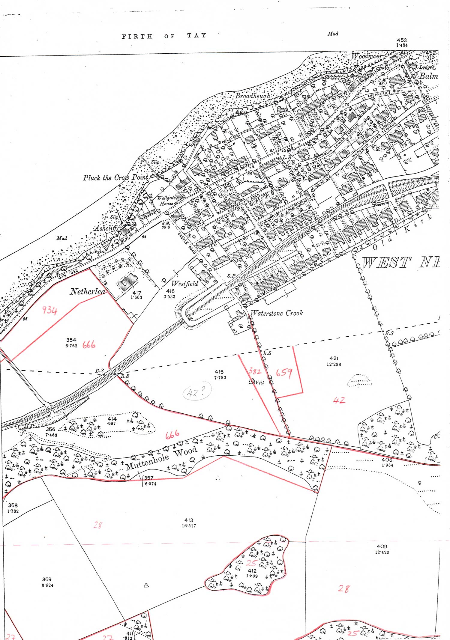
Forgan parish - incomplete - around Waterstone Crook
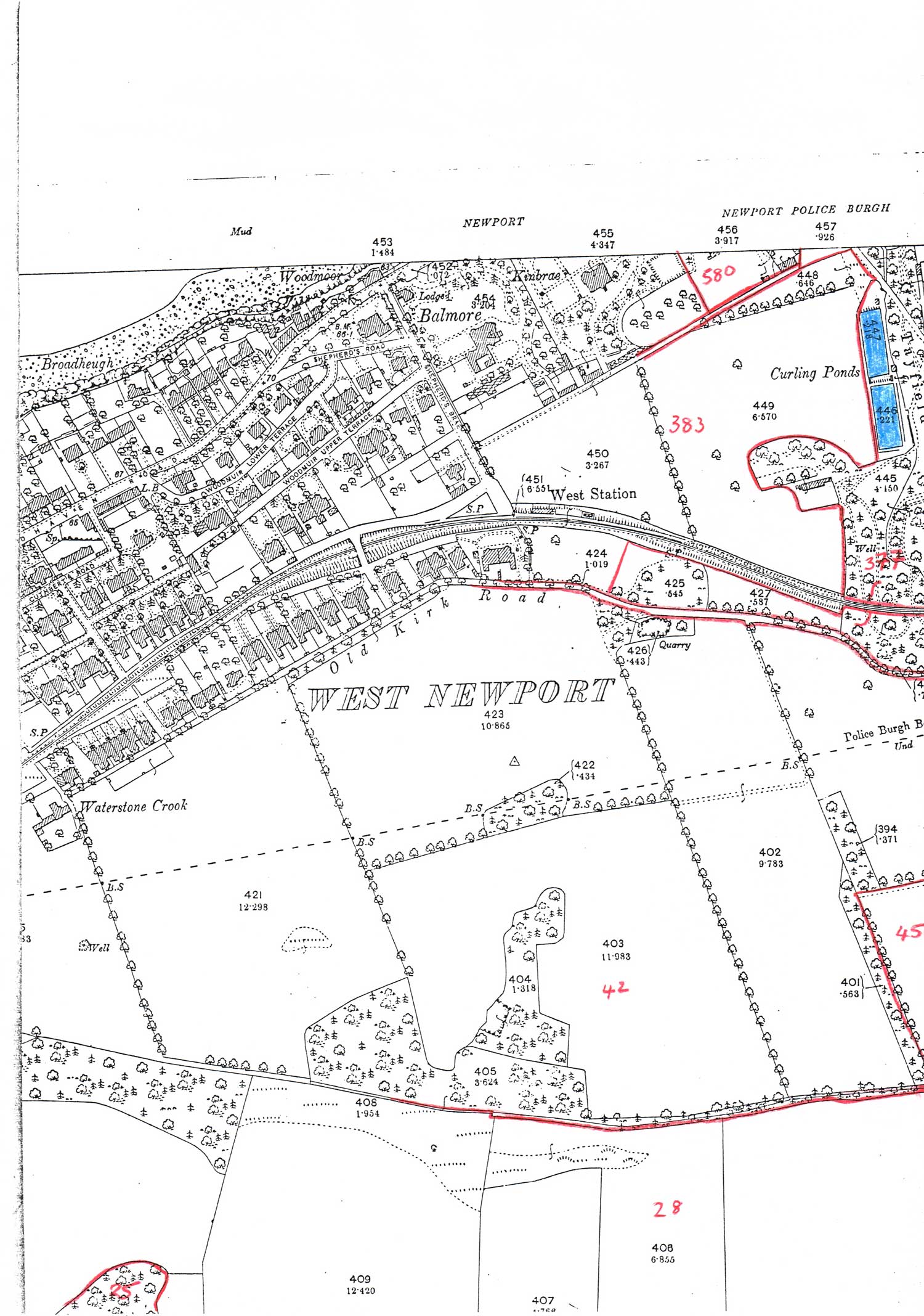
Forgan parish - incomplete - around West Newport Station
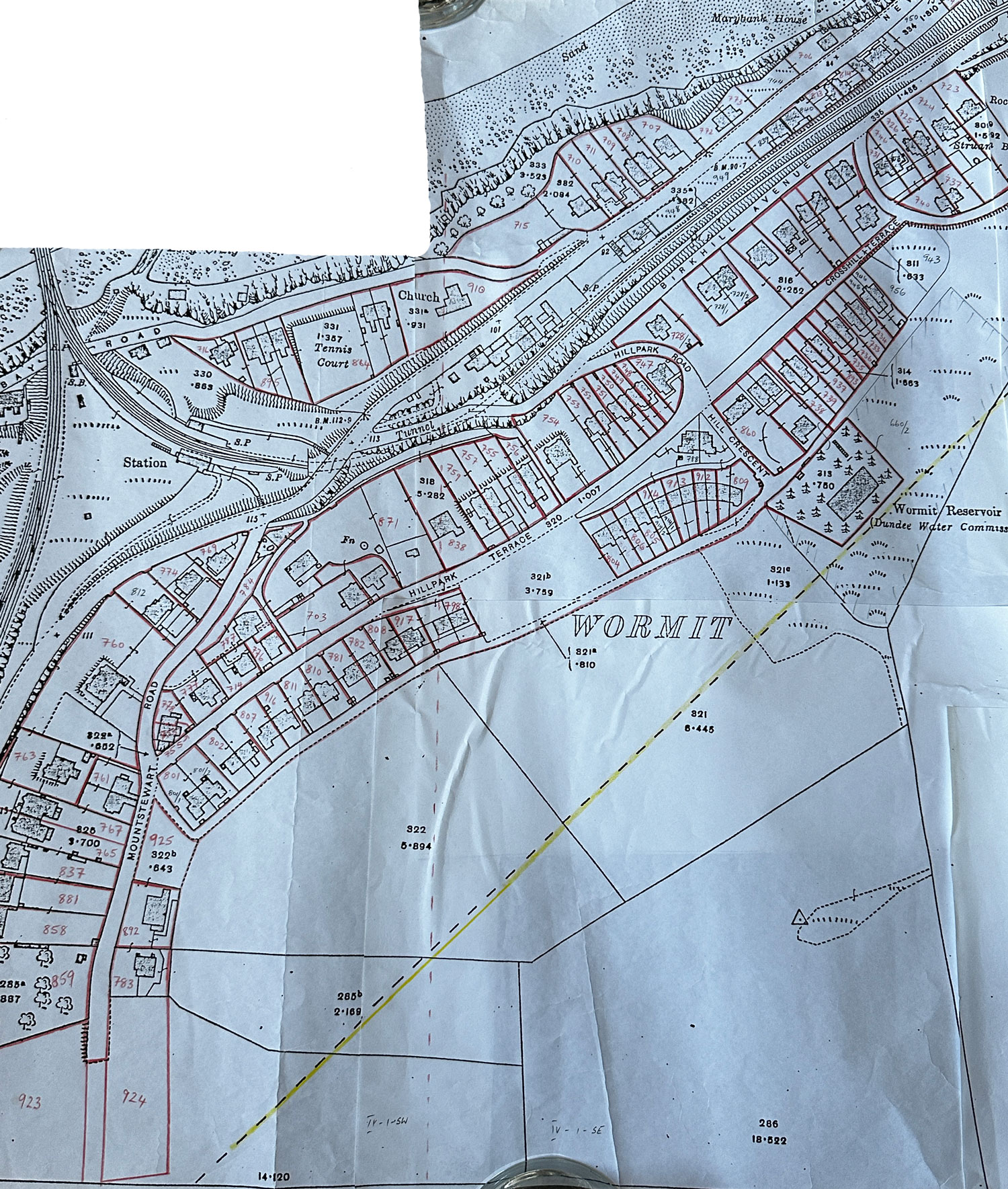
Hillpark Terrace, Crosshill Terrace, Mount Stewart Road, Birkhill Avenue, Riverside Road
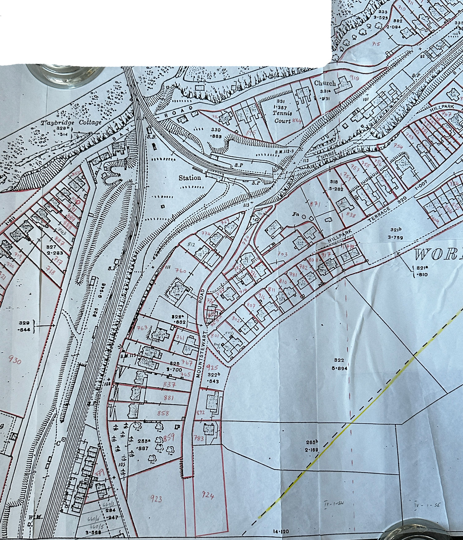
Naughton Road, Bay Road, Mount Stewart Road, Hillpark Terrace
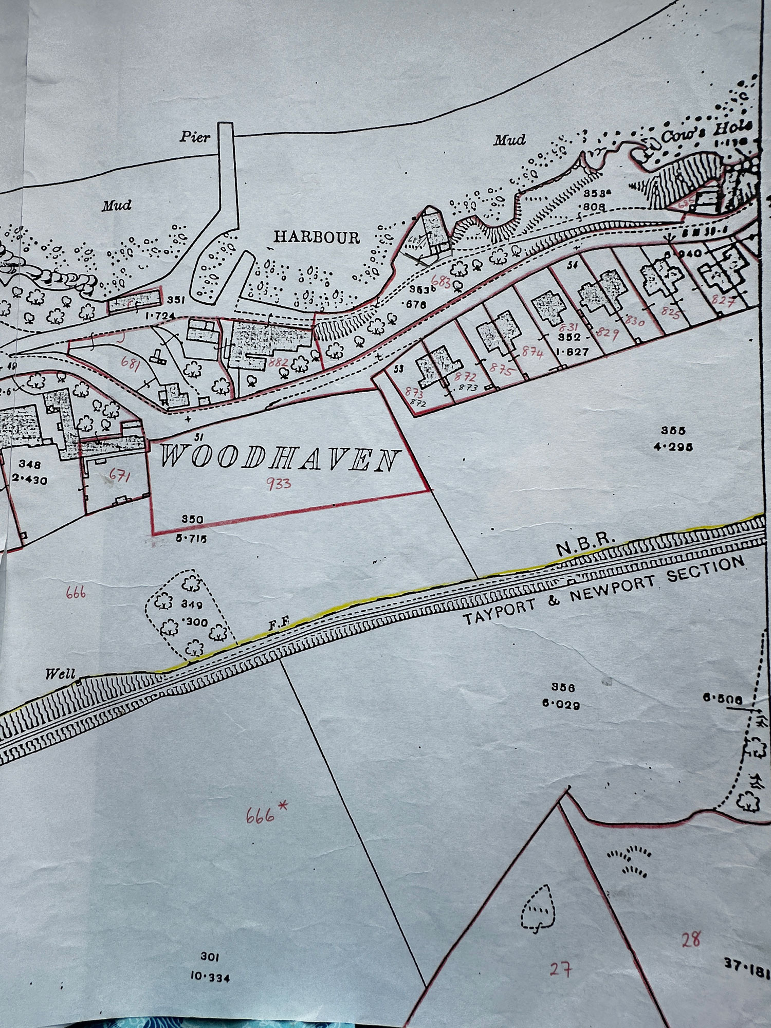
Woodhaven Farm, Riverside Road
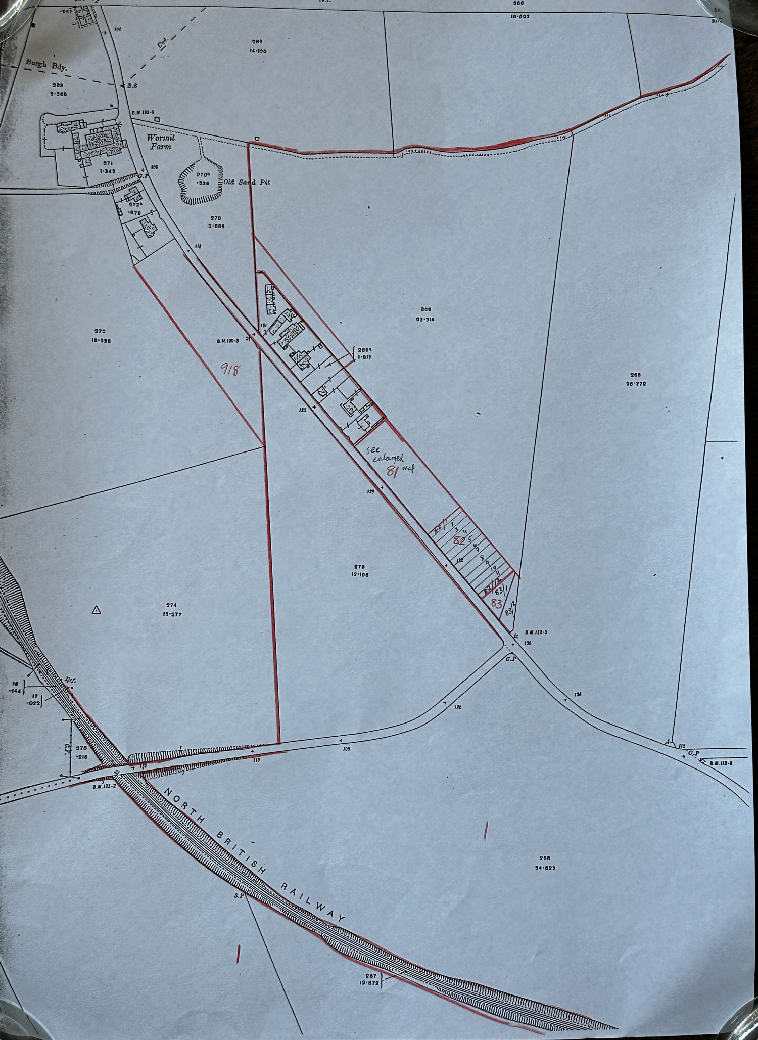
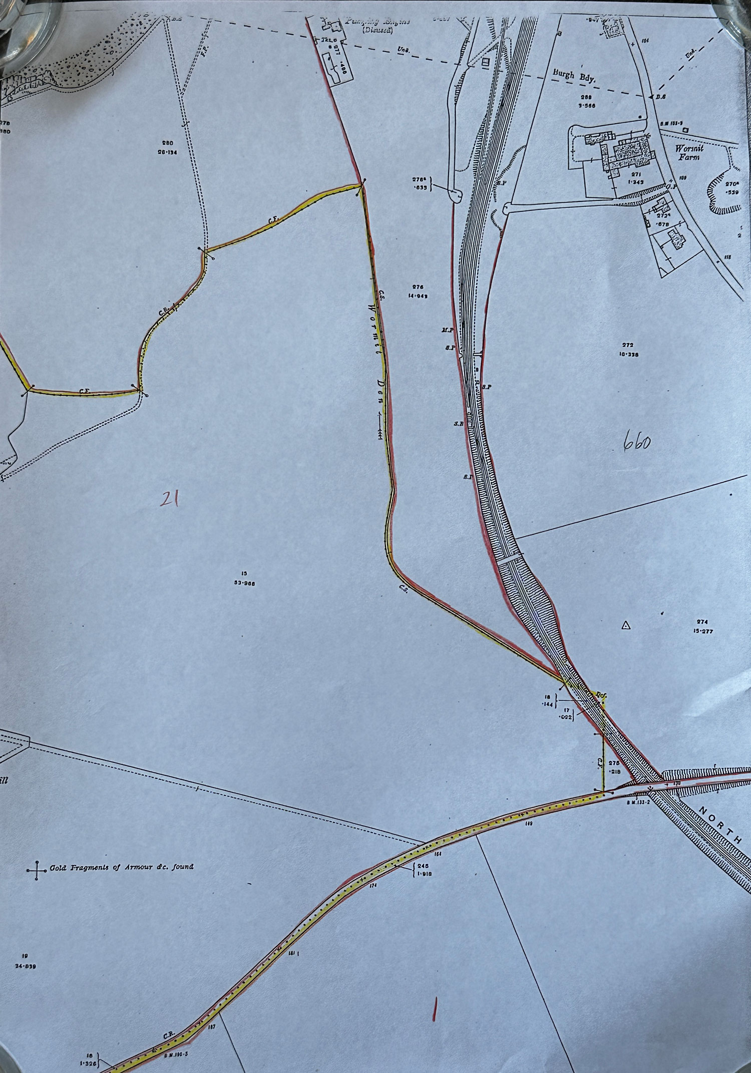
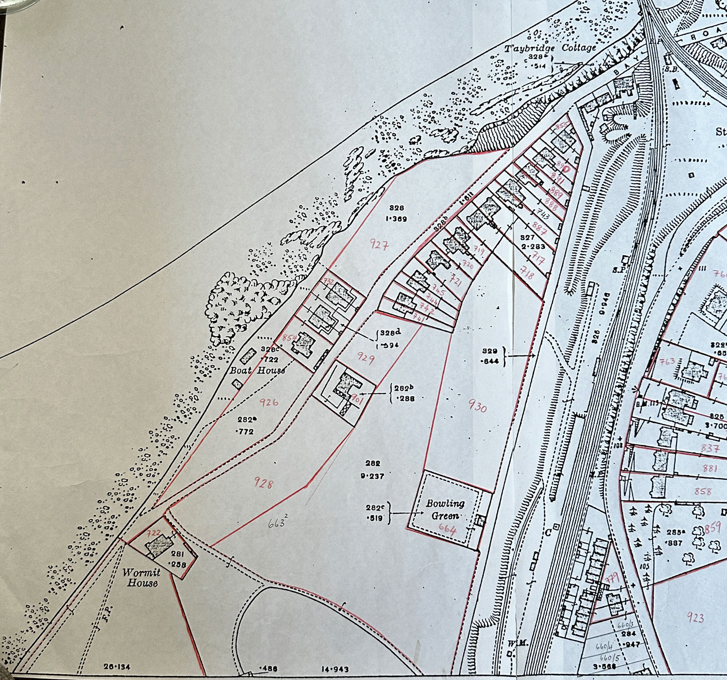
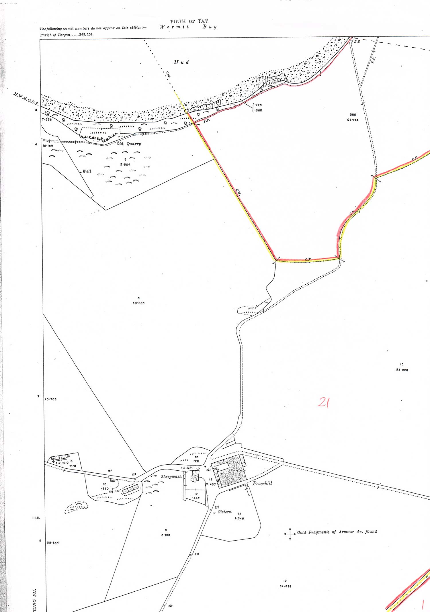
Forgan parish - incomplete - Wormit Bay area
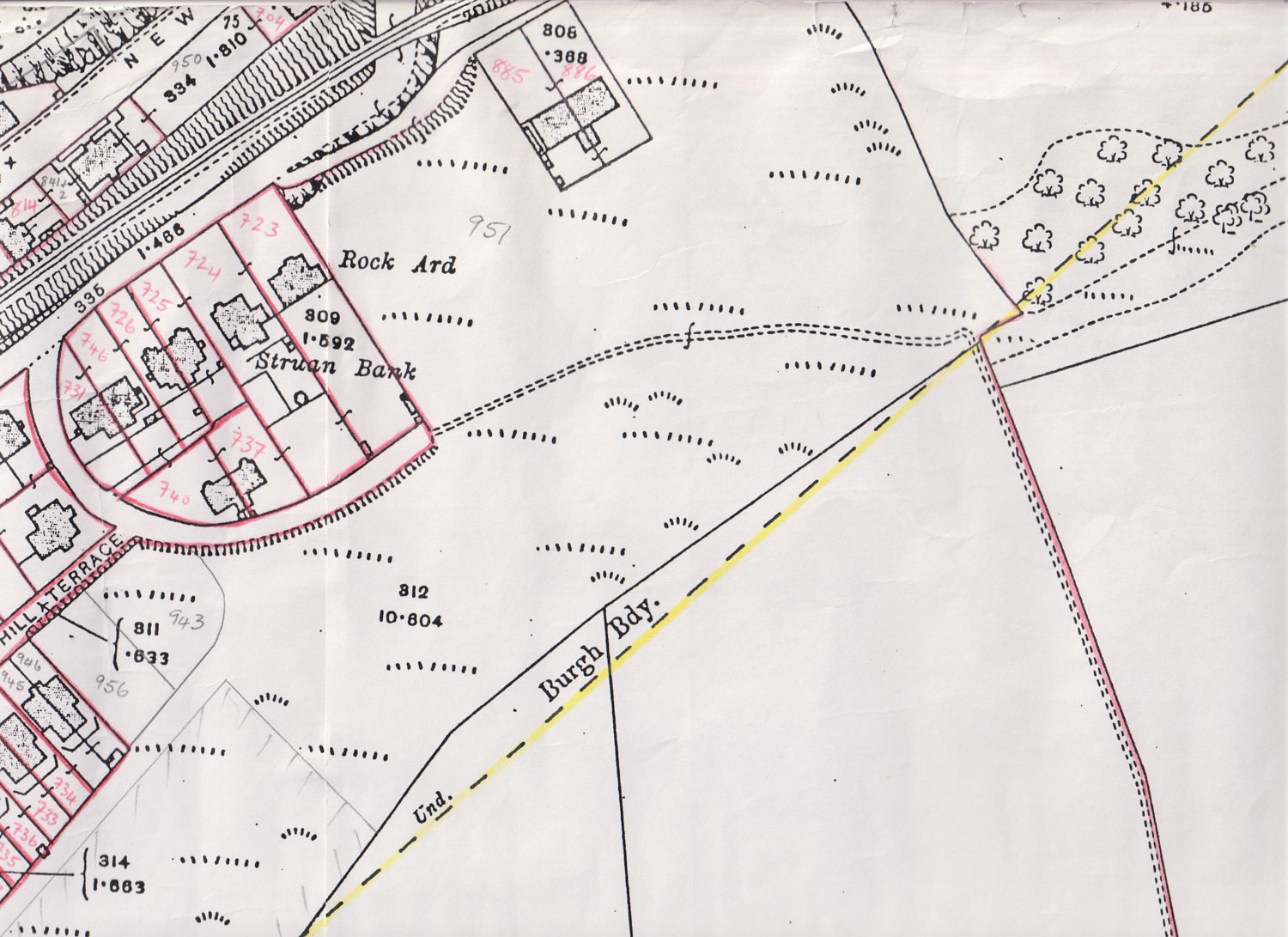
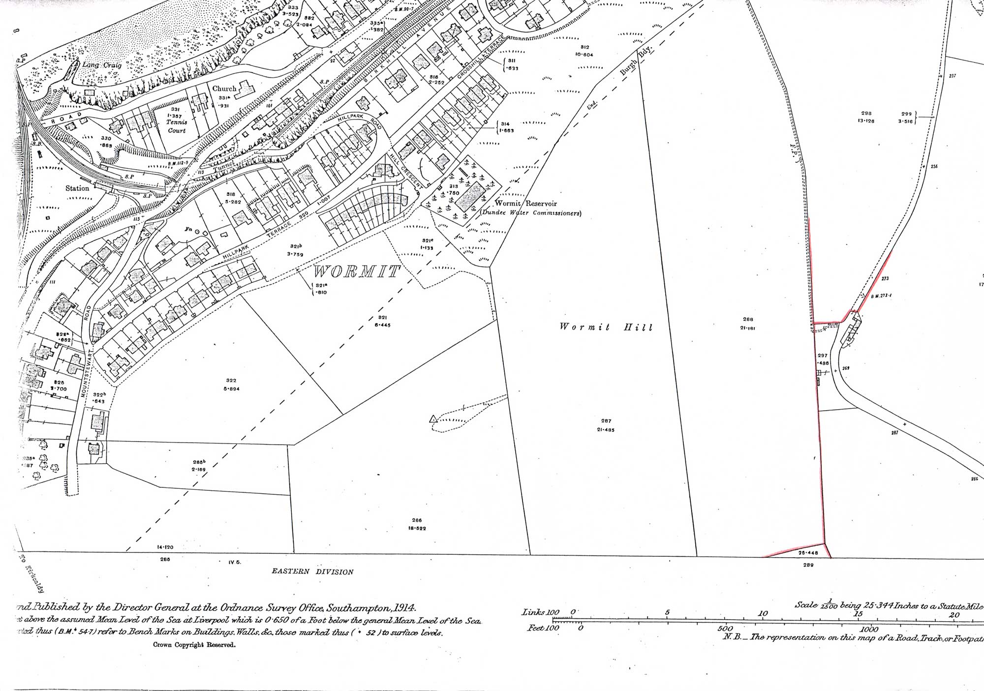
Forgan parish - incomplete - around Wormit Hill
Index to sheets for the Landward (Forgan Parish) area
The Scottish Valuation Office maps of Fife are catalogued at the National Records of Scotland as IRS113/ then a sheet number. Sheet numbers are shown below.
Maps for the Valuation Office Surveys are editions of the Ordnance Survey maps. Mapping for the landward (Forgan parish) area is done on the 1:2500 (25 inches to the mile) scale. There are 12 sheets covering Forgan.
At the National Records of Scotland, all IRS maps and documents are produced as digital images.
Map sheets
Forgan Parish boundary
Newport Burgh boundary in 1909
Index to sheets for the Newport Burgh area
The Scottish Valuation Office maps of Fife are catalogued at the National Records of Scotland as IRS113/ then a sheet number. Sheet numbers are shown below.
Mapping for the Burgh of Newport area is done on an enlarged edition at a scale of 1:1250 (50 inches to the mile). There are 9 sheets covering Newport.
At the National Records of Scotland, all IRS maps and documents are produced as digital images.