
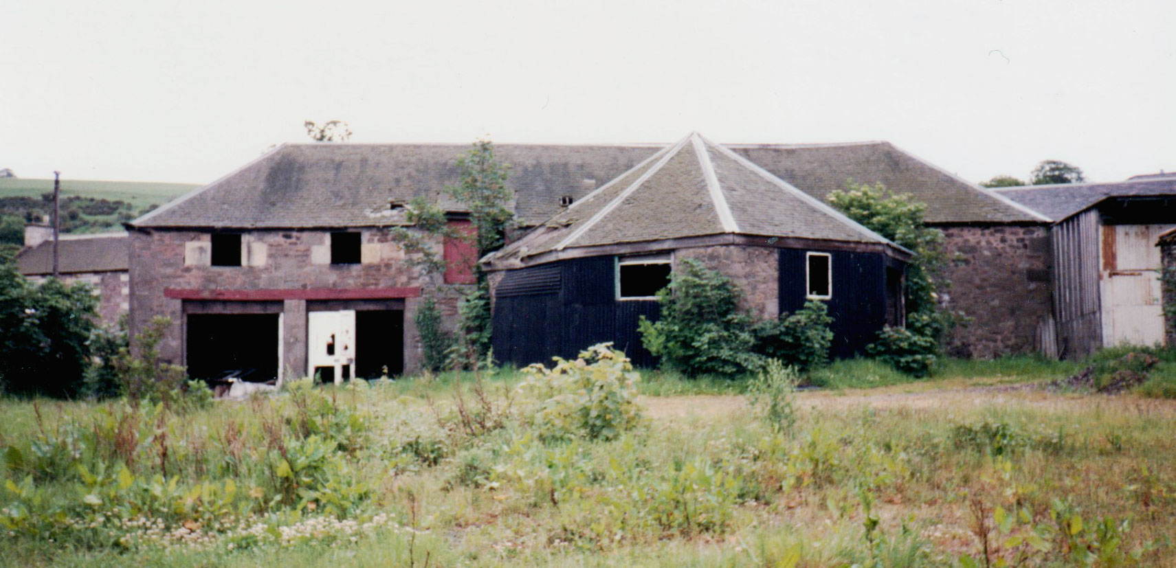
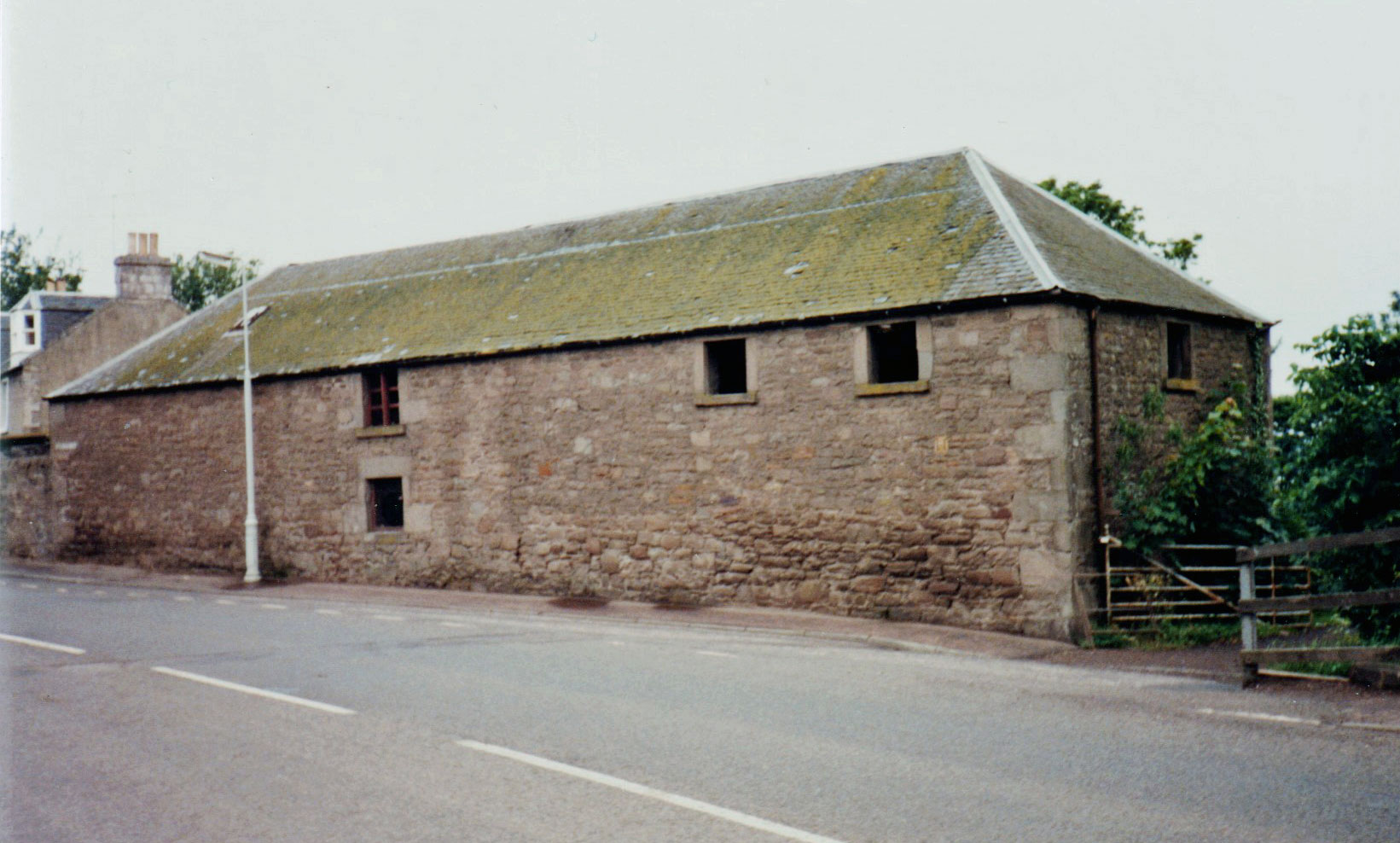
Location : former farm buildings & horse mill, Rankine Court
 = Property rebuilt or considerably developed
Notes: part demolished, part converted into 13-15 Rankine Court
Other references can be found at : Woodhaven Farm
Introduction
Part of Woodhaven Farm buildings.
Location and Old Maps
Latitude, longitude: 56.431047,-2.964342
View location on the 1855 6-inch map, the 1895 25-inch map, the 1914 25-inch map, the 1966-73 25-inch map, or a 1944-50 aerial photograph at the National Library of Scotland website.
Nearby properties (demolished in red): 3 Mars Gardens 4 Mars Gardens 5 Mars Gardens 6 Mars Gardens 7 Mars Gardens 8 Mars Gardens 9 Mars Gardens 10 Mars Gardens 11 Mars Gardens 12 Mars Gardens (the Waterside (West Water), Old Places) 97 Riverside Road
Old Addresses (any dates are approximate and are usually the latest occurence of the address)
| - |
House Names (any dates are approximate and are usually the latest occurence of the name)
| - |
Directory entries (before 1975)
| - |
Census records
| - |
Valuation Roll entries
| Year | No. | Property | Proprietor | Tenant | Occupier | Value | |||
|---|---|---|---|---|---|---|---|---|---|
| - |
Early Sasines:
| - |
Return to: Home Page Present-day Addresses Properties Map Old House Names Directories Valuation Rolls Sasines Census